

At Lawson’s, we strive to be your trusted neighbourhood nutrition source, offering you guidance on all your natural health product needs. We are a full-service health food store, family owned and operated since 1968.
Lawson’s has always taken pride in providing customers with selection, service and quality. We have been trusted to deliver honest information and high-quality products at fair value. Come in and speak to our friendly and knowledgeable staff and allow our team to guide you in making educated and informed health choices.
| CLICK HERE TO LEARN MORE ABOUT LAWSON'S |

Navigating Menopause with Confidence
Embarking on the menopausal journey can indeed be a great and sometimes challenging experience for many women, as it involves […]
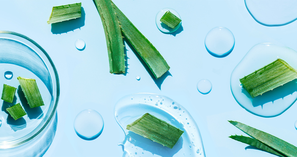
Aloe Vera for Optimal Health
With so many aloe products saturating the market, finding a brand you can rely on becomes paramount. Lily of the […]
Naturally Occurring Probiotics for Gut Health
“All disease begins in the gut” is a quote famously attributed to the Ancient Greek physician Hippocrates nearly 2,500 years […]

Natural Immune Support for Kids
In the pursuit of nurturing our children’s well-being, parents are always on the lookout for natural solutions to support their […]
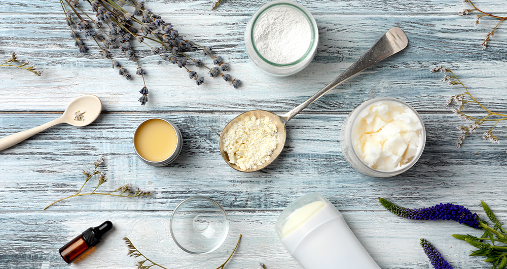
Raising the Bar for Natural Deodorants
Jaime Schmidt started making natural products in her kitchen back in 2010. Pregnant at the time, she was searching for […]

Secrets to Sleep Hygiene
The benefits of sleep are endless. It improves overall health, productivity, well-being, resilience, and quality of life. Getting adequate sleep […]
We are a member of the Health First Network, Canada’s leading independent health & wellness
retailers, and carry a wide range of Health First vitamins and supplements.
